Region
Wallmapu
The Mapuche country, the territory of Mapuche life, historical and contemporary, spanning the Andes from the Pacific coast of Chile into Argentine Patagonia.
One country, two slopes
Wallmapu names the Mapuche territory as a whole. Usage commonly distinguishes its two great parts: Ngülumapu, the lands west of the Andes in what is now Chile, and Puelmapu, the lands to the east in what is now Argentina.
Before the military occupations of the late 19th century, independent Mapuche territory south of the Biobío River was recognised by treaty for some two centuries. Today Mapuche communities are concentrated in La Araucanía and neighbouring regions of Chile and in Neuquén, Río Negro and Chubut in Argentina, with major urban populations far beyond.
Why we draw no border
Indigenous territory is not a nation-state border. Historical extent, cultural presence, language distribution and contemporary community geography each draw a different map, they overlap, they changed over time, and parts are actively contested today.
So the Atlas renders Wallmapu as soft presence, gradients without edges, and labels what each layer means. Precision that the evidence cannot support would be a kind of fiction.
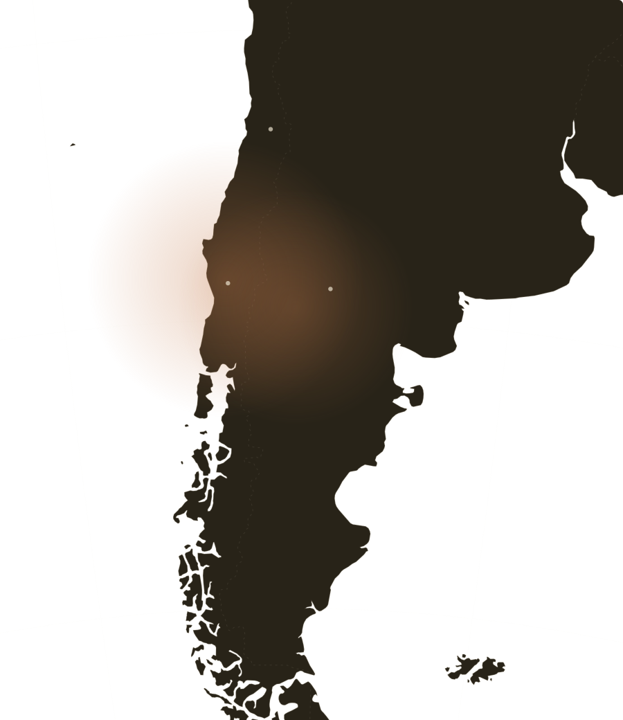 Ngülumapuwest of the AndesPuelmapueast of the AndesSantiagoTemucoNeuquén